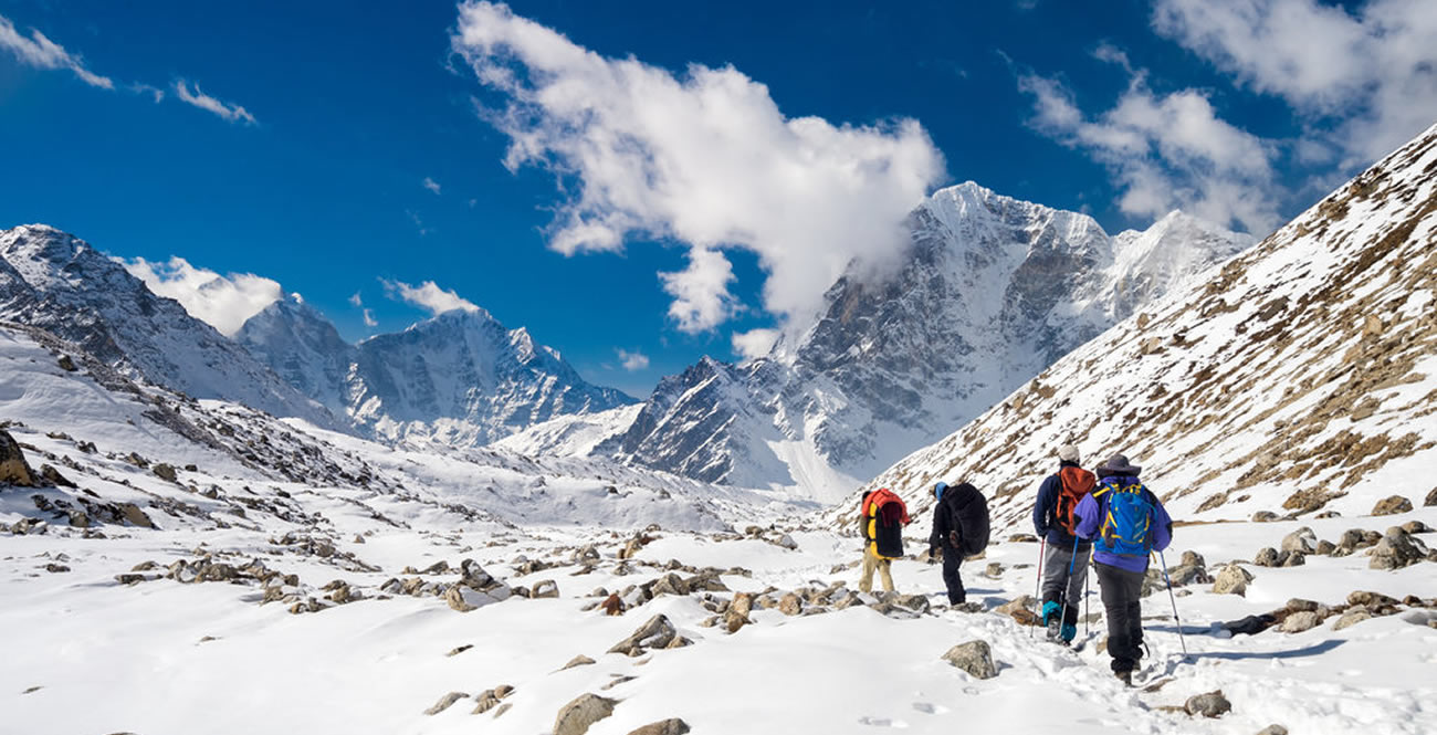
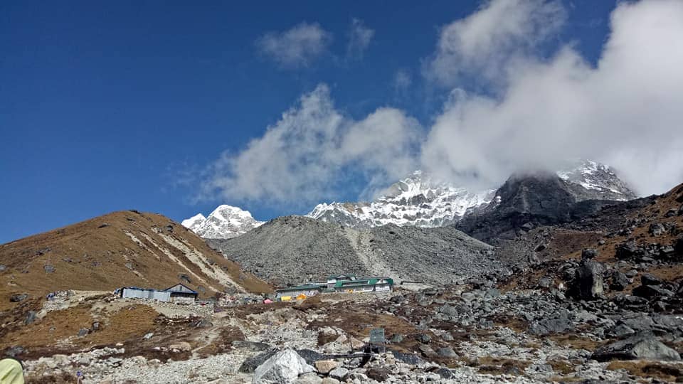
Annapurna region is located in the center of the “Great Himalayas”. The Annapurna massif, in north-central Nepal, covers a total of 80km of land, from the Marsayangdi River to the East, the Kali Gandaki River to the west, and the Pokhara Valley to the south. Annapurna I main stands tall at 8,091m making it the 10th highest mountain in the world. Regarded as the crown jewel of the Annapurna range, Annapurna I is one of the most challenging peaks, conquered by only a few daring climbers. In 1950 AD, a French expedition team led by Maurice Herzog made the first ascent of Annapurna I, making it one of the first 8000-meter peaks to be climbed.
The Hindu deity Annapurna, the goddess of food and nourishment, gave Mt. Annapurna its name. The word Annapurna comes from the Sanskrit terms “Anna” (food) and “Purna” (filled), which translate to “Everlasting Food.”Numerous rivers and streams descend from the slopes of Annapurna Massif which provides water for the agricultural fields and grazing pastures located at lower altitudes.
The entire Annapurna Massif and the surrounding area covering 7,629m is the first and the largest conservation area in Nepal. The Annapurna Conservation Area is home to several treks, including Annapurna Sanctuary and Annapurna Circuit.
The Mountain peaks in the Annapurna region ranges from 6000m to 8000m. The following are some of the popular mountain peaks in the Annapurna region:-
Table of content:
- Annapurna I
- Annapurna II
- Annapurna III
- Annapurna IV
- Annapurna South
- Gangapurna
- Hiunchuli
- Machhapuchchhre
- Nilgiri Himal
- Dhaulagiri
Annapurna I (8.091m | 26,545ft) :
Annapurna I was the first 8,000m peak to be climbed in 1950 AD, by a French expedition led by Herzog. This mountain is considered one of the most challenging peaks among the 14 eight-thousanders. It lies in the east gorge cut through by the Kali Gandaki river which separates the other large massif, Dhaulagiri. The entire massif lies within the Annapurna Conservation Area Project (ACAP). The Annapurna mountain range is a chain of mountain peaks that shares its name. The peaks include Annapurna I, II, III, IV, and Annapurna South. Unlike other 8000ers Annapurnas barely stands out as most of it is hidden by other peaks surrounding it.
Annapurna II : (7,937m | 26,040 ft)
Annapurna II is the 2nd highest mountain peak in Annapurna region. The rugged terrain has some extremely difficult climbing routes that require advanced skills and experience making it challenging for many climbers. It varies from steep glacial ridges and rocky faces to snow fields. There are some amazing views from trails, like the Annapurna Circuit, that take you around Annapurna II. Annapurna II, though challenging the mountain has some scenic beauty surrounding land and culture that make this part of the Himalayan range a real treasure.
Annapurna III : (7,555m | 24,786 ft)
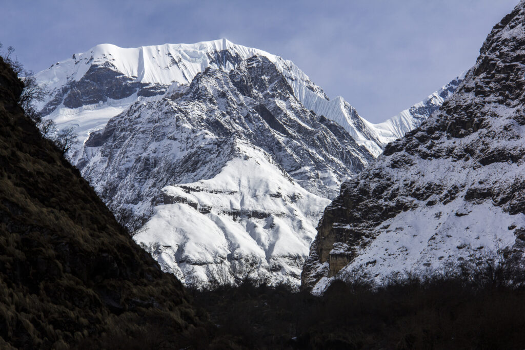
Annapurna III the third mountain peak of the Massif rises 7,555 meters in height, a peak in Nepal’s Annapurna Region dominating the landscape located within the Annapurna Conservation Area. the striking pyramid shape a key attractions for trekkers on the Annapurna Circuit.
Climbing Annapurna III can be quite challenging because of the steep ridges and uncharted weather, which require technical ice climbing. Compared to other peaks in the massif, there have been few successful climbs. For adventure-loving travelers, Annapurna III is a place where one can witness the rugged beauty and challenges of the Himalayas.
Annapurna IV : (7,525m | 24,688ft)
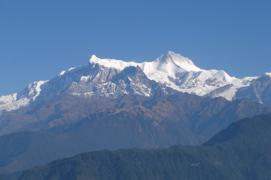
Annapurna IV is the fourth mountain peak in the Annapurna Region, with an altitude of only 7,525 meters. This part of the Massif is distinctive with symmetrical ridges and an undisturbed snow bed. The area surrounding Annapurna IV is a picturesque destination as pe peak climbers. The surrounding views include green valleys, steep alpine slopes, and icy glaciers.
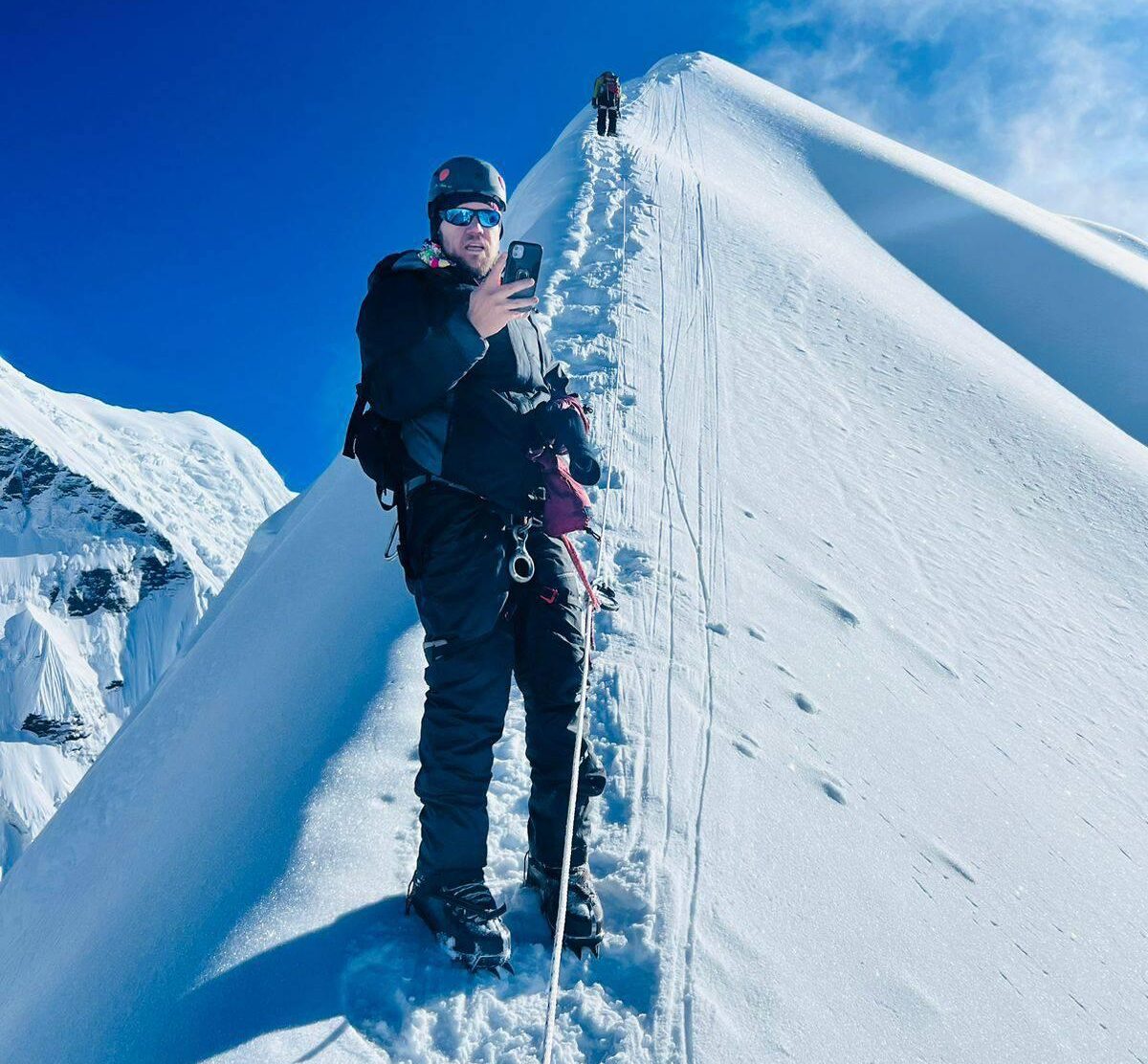
Climbing Annapurna IV is very challenging requiring advanced mountaineering skills. The trail includes sections like technical ridges, climbing on ice walls, and unpredictable weather changes. While less famous than Annapurna I, Annapurna IV will surely remain a prime destination for Himalayan adventure seekers.
Annapurna South: (7,219m | 23,684ft)
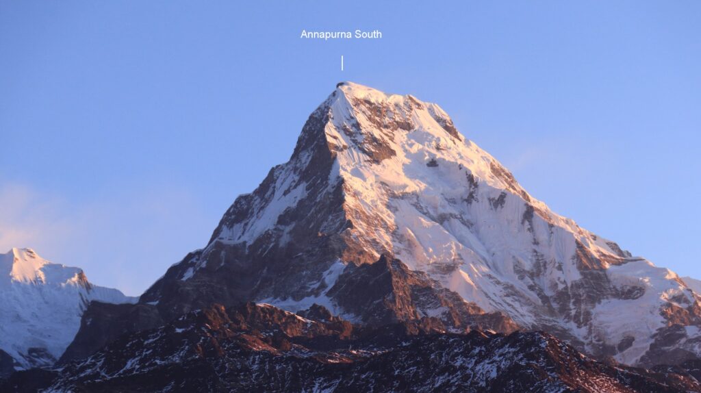
Annapurna South is located in the southernmost part of the Annapurna massif. The mountain peak is the highlight of the Annapurna Base Camp. The terrain surrounding Annapurna South features dense rhododendron forest, terraced fields, and steep rocky mountains transitioning into icy glaciers at higher altitudes.
Though not as technically demanding as Annapurna I, scaling Annapurna South poses its challenges including high cliffs, rocky trails, and undenounced weather. The challenging trek can be equally rewarding as it gives a different view of the Annapurna region.
Gangapurna: ( 7,455m | 24,457ft)
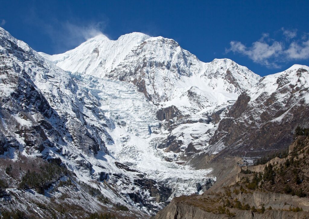
Gangapurna is the part of Annapurna mountain range located in north-central Nepal. And also located in Annapurna Conservation Area (ACAP) . It was first ascended in 1965 by a German expedition team via its south face and east ridge.
The mountain is named after the Hindu goddess “Ganga” who is a personification of the river Ganges. The glaciers of Gangapurna, Annapurna IV, Khangsar Kang and Glacier Dom create Gangapurna Lake. Majestic mountain peak of Gangapurna can be seen from Manang Valley with breathtaking views of the Annapurna mountain range then ascending high above Marshyangdi valley. It is on the main ridge that connects Annapurna I.
Hiunchuli : (6,441m | 21,132ft)
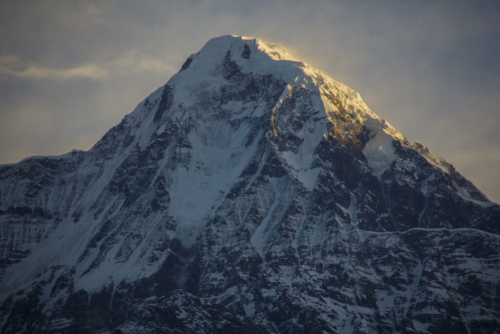
Hiunchuli mountain is an extension of the Annapurna South peak. Between Machapuchare and Annapurna south lies a narrow section of the Modi Khola valley that represents the sole access to the Annapurna Santuary.
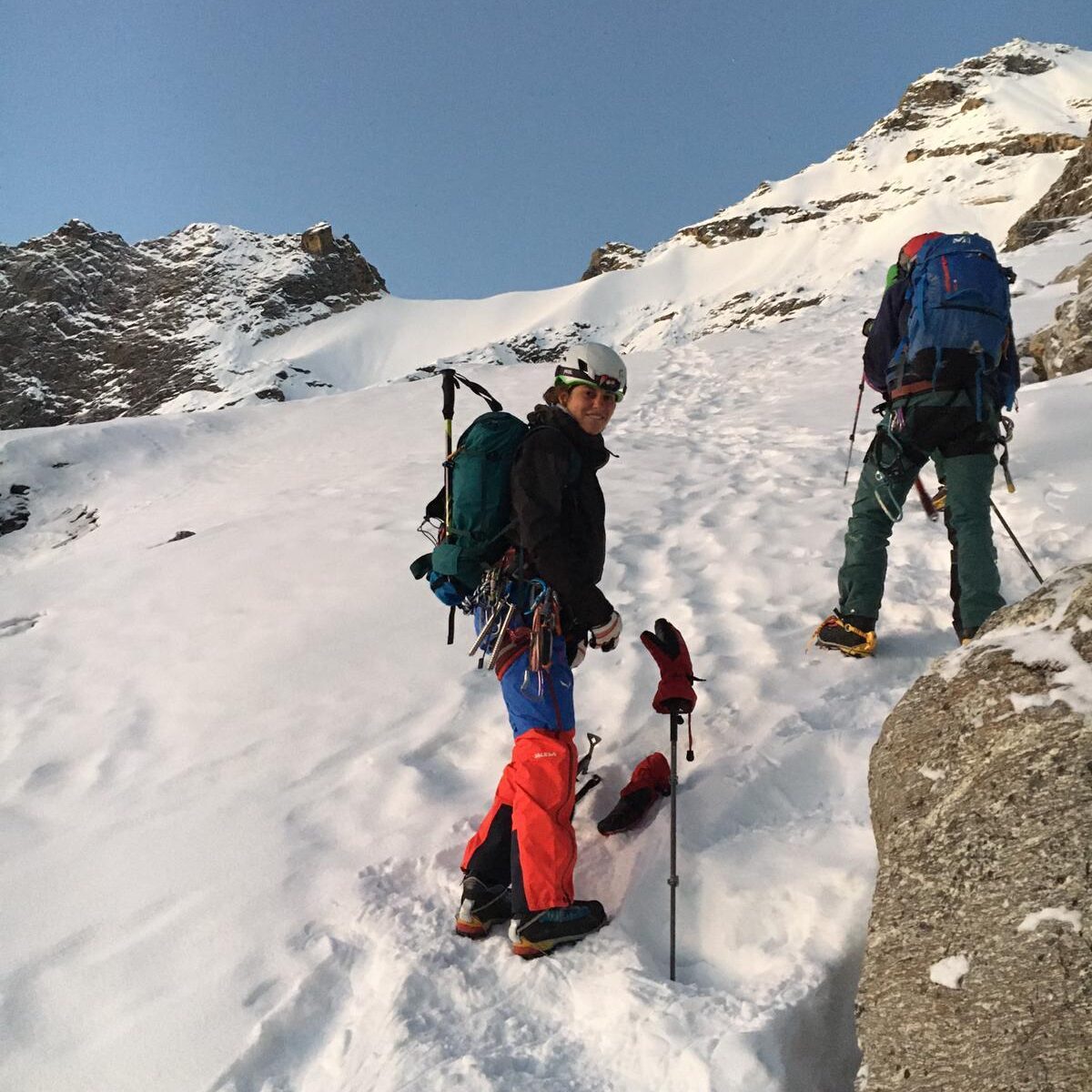
The peak was first climbed by an expedition led by the U.S Peace Corps in October of 1971 A.D. Classified as a trekking peak by Nepal Mountaineering Association, the peak is considerable difficult to ascent due to dangers from rock falls and crevases in the glaciers. The most common trail to the summit is via the Southeast face or the Northwest Face.
Machapuchare : (6,993m | 22,943ft)
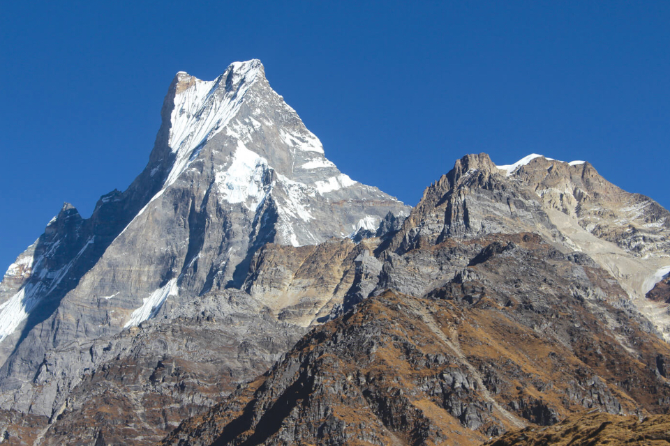
Machapuchre himal (Mt. Fishtail) an iconic mountain situated in the annapurna region, named after its resemblance to a fish-tail. The mountain has never been officially climbed due unattainable trekking permits from the government and rightfully so, as the mountain peak is sacred to the Chomrong and Gurung people. According tot the hindu culture the mountain peak is also said to be the home of Lord shiva, protector of the region. The summit of machapuchare himal is among the few unclimbed mountain of the Greater Himalayas.
The peak being close to Pokhara city the iconic fishtail mountain dominates the skyline, unlike the peaks further away. There are various view point around Pokhara, such as Poon Hill offering stunning closeup view of Machapuchare mountain. These view points allows you to admire the panoramic views of the Annapurna mountain range without having to trek to the mountain peaks.
Nilgiri Himal (7,061m | 23,166ft)
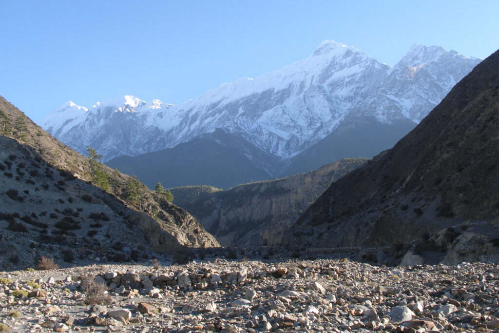
Nilgiri Himal another peak of the Annapurana Massif is composed of three peaks Niligiri North (7,061m), Nilgiri Central (6,940m) and Niligiri South (6,839m). Niligiri Himal is located near thre Kali Gandaki Gorge and close to Jomsom. The mountain peak lies within the annapurna conservation area and are clearly visible along the Annapurna Circuit Trek.
Trekking to Niligir Himal can be technically due to its steep ridges, unpredectiable weather and snowy rocky slopes at higher altitudes. The highest peak of Niligiri Himal, Nilgiri north (7,061m) was successfully climbed by Kees Egeler along with five geologist, a doctor and three other. This was the first Himalayan expedition for the Dutch.
The other mountain peak, Nilgiri South (6,839m) was successfully climbed by a Japanese team from Shinshu University in Autumn of 1978 AD.
Mountain climbers rarely try to summit this peak due to its difficult terrain and unforgiving weather. To this day 16 expedition have been attempted, with 7 successful climbs officially recorded.
Dhaulagiri: (8,167m | 26,795ft)
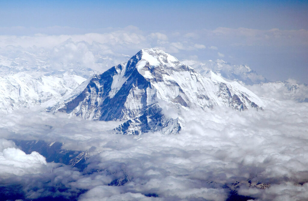
Dhaulagiri mountain is one of the 8000ers and the seventh highest mountain in the world and the highest mountain peak within the borders of a single country. The first successful attempt was made by a Swiss-Austrain-Nepali expedition team in May of 1960AD. Located in South-east from Pokhara city. Annapurna I and Dhaulagiri is separated the Kali Gandaki river that flows through the Kaligandaki Gorge, the deepest gorge in the world.
Due to its difficult terrain and acute weather conditions commercial expedition teams rarely make attempts to the summit. Many experienced mountaineers have tried to scale the peak, with few successful attempts to their names. Many have attempted to climb the mountain, a challenge not for the faint-hearted.
The peak of Dhaulagiri and Everest are composed of limestone and dolomite formed at the bottom of the ocean. Other eight-thousanders in the Himalayas are made of granite, formed deep underground. This geological evidence supports the theory that the Indian subcontient collided with th Eurasian plate, forming the “Great Hinalayan Mountain Range”.


